Pogo Mountain is a towering aesthetic peak capturing the imagination of all that travel past along the Tofino highway heading west. To hike this eastern peak of the Maitland Range on Vancouver Island in summer takes a strong will and a solid navigational skillset. With little to no trail and a demanding bushwack it is great challenge but the stunning views at the summit make the effort worth every moment.
Climbing Pogo Mountain
Located on the western reaches of south central Vancouver Island on the north side of highway 4 lies the Maitland Range. Heading west the very first prominent peak you see is Pogo Mountain. This peak and the connected ridges and mountain tops of the Maitland Range lie within the traditional territory of the Tla-o-qui-aht first nation who have called this land home for centuries.
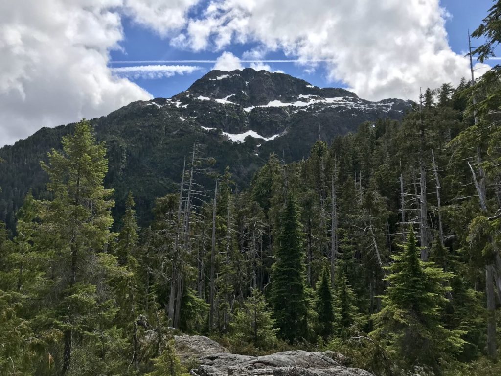
Pogo Mountain stands at 1486m (4875 ft) in elevation rising sharply up from the river valley below. The mountain as written by Lindsay Elms in his book Beyond Nootka believes the summit was first topped out in 1941 by early surveyors. It is fair to assume the Tla-o-qui-aht people had summited countless times prior of which I was unable to discover the traditional name.
In the 1974 climbing guide by Dick Culbert, he referred to the mountain as “Tit Peak” but was later named to Pogo Mountain and officially registered. The mountain has a broad wide summit from the east aspect but looking from the SW it has an aspect that looks much like the wizard Pogo’s hat. With its very pointed peak this story suits the mountains current naming well.
Pogo Mountain : Getting There
Tla-o-qui-aht Tribal Parks Allies
The first thing you will want to do is email the Tribal Parks office of the Tla-o-qui-aht First Nation for permission to visit their territory. While not an official requirement this show of respect and the associated tribal park honorarium is the proper way to experience this region. The unofficial suggested amount speaking with other fellow climbers to the region is $7. Payment during summer can also be made at the WildCoast Zipline (A Certified Tribal Park Ally) 7km down the highway from the trailhead access to Pogo Mountain. These funds go towards supporting the work of the Tribal Parks Alliance.
Trailhead Driving Directions
Pogo Mountain trailhead is reached at a locked forestry road gate that crosses the Kennedy river. The Haa-ak-suuk Creek Main is easily identified via the large Tla-o-qui-aht first nations sign at the entrance. The turnoff is near Sutton Pass roughly 5km after the Taylor River rest area to the east. Driving distance from Port Alberni is 40 mins and roughly 38km. When parking be sure to not block the gate crossing the river, keep off to the side out of the way.

Haa-ak-suuk Logging Road turnoff with Pogo Mountain in the distance 
Highway 4 turnoff and bridge parking location
Trail Guide via NE Ridge
Let’s start things of with a disclaimer, this mountain should only be considered by experienced backcountry users. With route finding challenges, no trail and the difficult vegetation as well as often quickly changing weather carefully consider if you are up to the task. Plan ahead, leave route info with someone at home and pack the ten essentials always. With that said, now lets have some fun.
From your parked vehicle behind the gate on the east side of the river you begin your hike down the logging road. You will continue down the road for roughly 800m until you reach the first overgrown bushy spur road. Make your way up this spur following a loosely flagged route. This route works its way up the road and then through an old cut block eventually emerging into the very bushy old growth forest.
Continue on this westward trend through the thick forest and then bushy terrain of alder, blueberry and fallen trees with a healthy dose of bluffs. For those that follow vegetation rating this one goes at B-4. There is no flagging or trail on this section and you will need a good map and compass or gps to maintain your course. A steady climb upwards through the forest eventually brings you to the NE Ridge where the terrain opens up. Be sure to not drop down too far to the west (climbers left) staying on the high point as much as possible.


Once fully on the NE Ridge the terrain is completely open and views start to emerge all around. As you work across the alpine landscape you are steadily making your way NW to the North Ridge which you will scramble to gain the summit. In these summer conditions this is the only real crux of the route. At the headwall of the North Ridge stay to climbers right and move around to the bushy heather ledges that allow a class 4 ascent with some green belays.

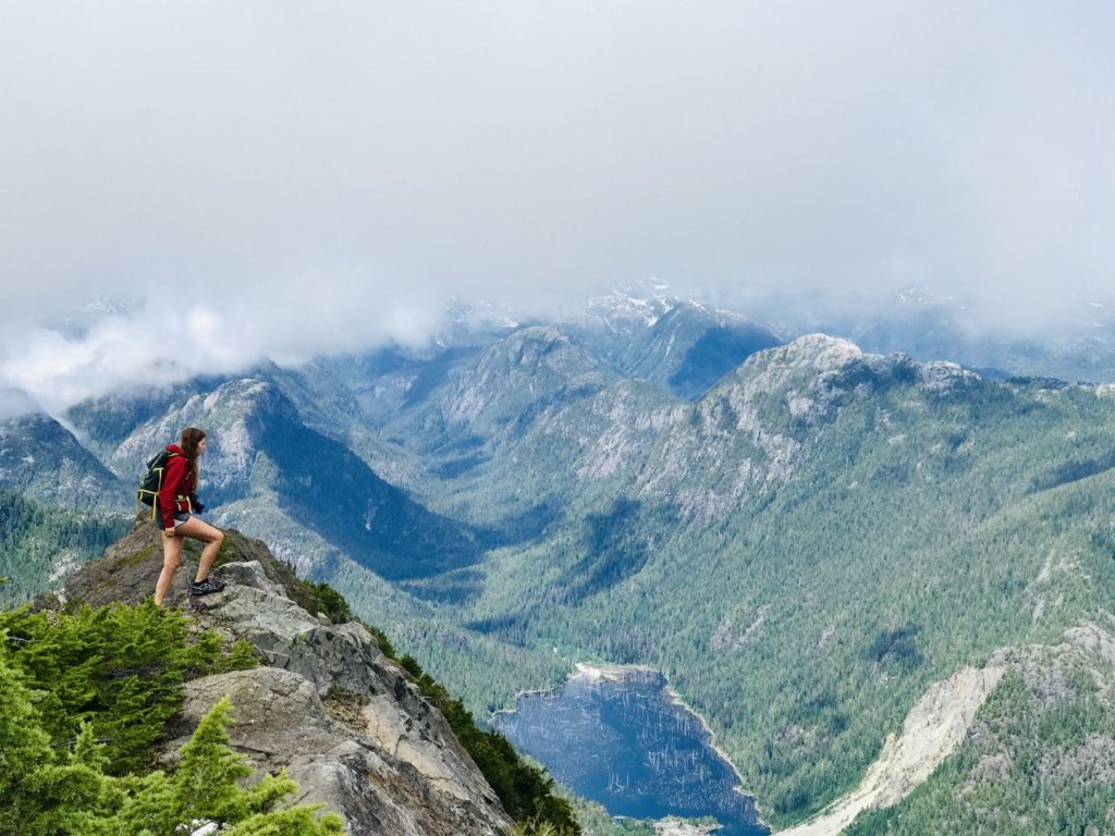
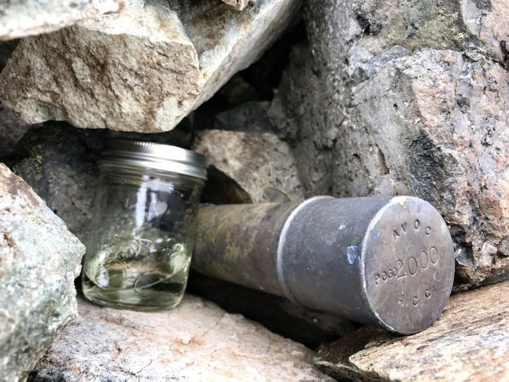
Now on the North Ridge follow the height of the ridge to the summit cairn where amazing views await. From the summit you can see Kiltsa, Adder, Nahmint, 5040, Triple Peak, Cats Ears, Canoe and Mackenzie Range with glimpes of the Pacific Ocean in the distance. To the west Steamboat Peak and the Limestone Twins with their limestone karst of the Clayoquot Plateau cover the landscape. To the North is the vast and endless view of mountain peaks of Strathcona Provincial Park.


It was a tough day fighting our way through the bush and finding weaknesses in the forest and around the many rocky bluffs. We went when there was no snow on the ground and had vegetation at times over our head. I suggest wearing long pants and long sleeve shirt as I wore shorts (which I often do) but paid the price on the descent with my body looking like I lost a fight with a cat.
Most if not all of the trip reports I have seen or fellow alpine enthusiasts that have done this peak do so in well covered snow conditions. If you are up to the bushwack by all means challenge it in summer like we did but I feel early spring would provide easy movement on snow above the bush.
The descent is done by backtracking your same route down the the mountain. Total time for our day was 9 hours at a relaxed pace and a nice long lunch at the summit. My GPS showed 12 kms covered with a total elevation gain of 1394 meters for the day.
Pogo Mountain Image Gallery from the Climb
Other nearby mountains you may want to visit that I have written about are;
Follow the Mindful Explorer
Be sure to join along on my mindful journey discovering the benefits of the outdoors, environmental awareness, sustainable lifestyle and mindfulness on social media. My Instagram account is @Stasher_BC as on Twitter at @Stasher_BC .
Use the hashtags #MindfulExplorer and #ExploreBeyondTheUsual so I can see how you are leading a mindful life and enjoying the outdoors. Share this article if you liked it and leave a comment if you have any


Gorgeous Chris, looks amazing!
The beauty of Vancouver Island west coast peaks, so much to love.